Remains of 66A Pen-Y-Bryn Chain Home Low Radar Station
Photos taken of the site centred at NGR. SH 138257 taken in 2022
Google Maps satellite image of Pen-Y-Bryn Chain Home Low Radar Station.
Link to high quality Bing Maps satellite image (opens in a new window)
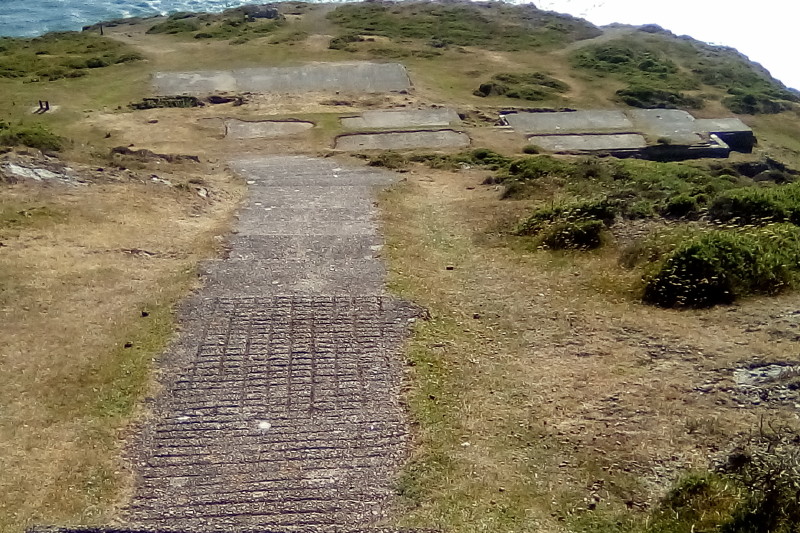
Main view of site with concrete path and steps leading down

Hut base and block wall with reinforcing bars

Hut base and block wall with reinforcing bars

Concrete hut base showing internal partition

Concrete hut base

Mast stay set in concrete

Concrete hut base and foundations with evidence of corrugated steel walls

Concrete hut base and block wall with remains of drain pipe

Concrete pad with surrounding walled enclosure
| OS Map | Landranger 1:50,000 Map 123 |
| OS Map | Explorer 1:25,000 Map 253 |