Remains of 11G Comberton Ground Control Intercept Radar Station
Photos of the remains of the Ground Control Intercept Radar Station at Wick, Near Pershore, Worcestershire taken in 2010.
The station was also known as RAF Comberton and was originally centered at SO 965462,
with the Happidrome at SO 967462 and the later Post War Rotor system at SO 967461.
The locations of the WW2 buildings have neen sourced from an aerial photograph dated 2nd April 1946.
The locations of the Post War buildings have been sourced from aerial photographs dated 11th May 1954.
Google Maps satellite image of Comberton GCI.
Link to high quality Bing Maps satellite image (opens in a new window)

Map of CGI Station RAF Comberton

Satellite Image of CGI Station RAF Comberton

1946 aerial photo of RAF Comberton

1954 aerial photo of RAF Comberton

1954 oblique aerial photo of RAF Comberton
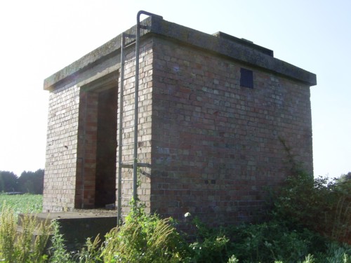
Type 13 Antenna cabin
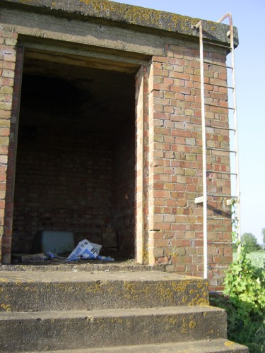
Access door and ladder to roof
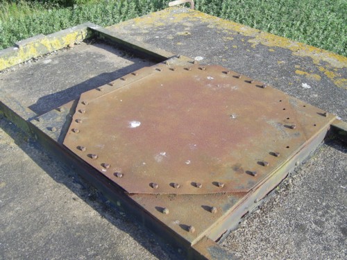
Type 13 antenna mountings
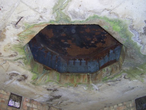
Underside of antenna mounting
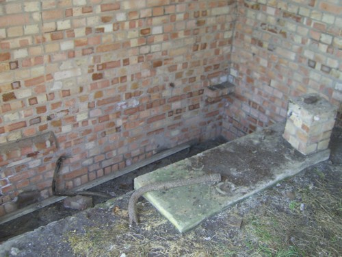
Sump in floor of cabin
| OS Map | Landranger 1:50,000 Map 163 |
| OS Map | Explorer 1:25,000 Map 190 |