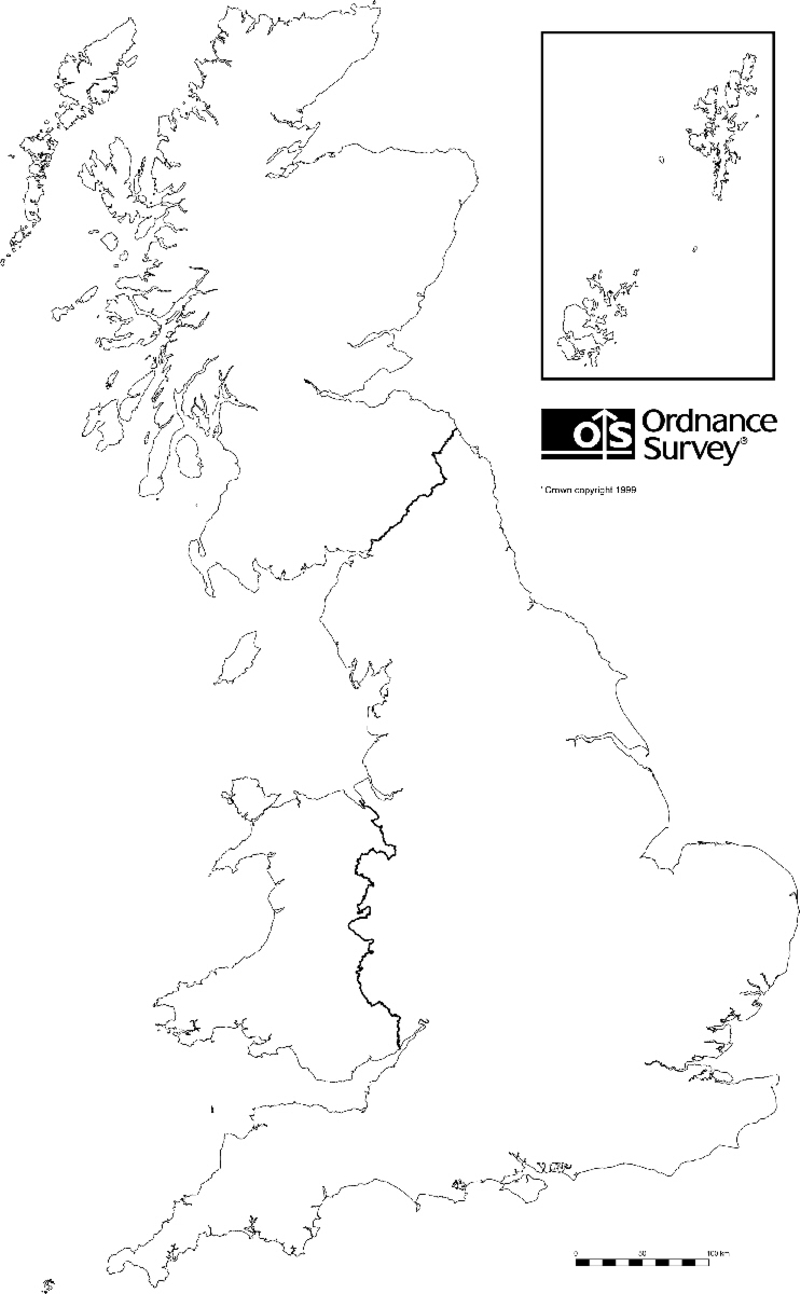
Map of ROTOR Radar Stations

Hover mouse over icon to identify station.
Click on icon for a satellite image of the site in a new window
(There may be no visible remains of the station).

Shetland Islands

Orkney Islands

Anstruther
Bawdsey
Boulmer
Buchan
Calvo
Charmy Down
Chenies
Comberton
Gailes
Hack Green
Hartland Point
Holmpton - VQJ R3 Type 80
Hope Cove
Langtoft
Neatishead
St. Annes
St. Twynnells
Sandwich
Scarinish
Seaton Snook
Skendleby
Sopley
Treleaver
Trewan Sands
Wartling
Crosslaw
Fairlight
Foreness
Goldsborough
Hopton
Truleigh Hill
Danby Beacon
Douglas Wood
Drone Hill
Drytree
Dunkirk
Folly
Hayscastle Cross
High Street
Hill Head
Netherbutton
Pevensey
Poling
Ringstead
Rye
Sango
School Hill
Sennen
Staxton Wold
Stenigot
Stoke Holy Cross
Swingate
Trelanvean
Trerew
West Beckham
West Prawle
Beachy Head
Bempton
Cold Hesledon
Inverbervie
Portland
St. Margarets
Trimingham
Ventnor
Barnton Quarry
Bawburgh
Box
Kelvedon Hatch
Longley Lane
Shipton

Key to symbols

 SOC - Sector Operations Centre

 CEW - Centimetric Early Warning

 CH - Chain Home

 CHL - Chain Home Low

 GCI - Ground Control Intercept