Remains of 97 Bresnish Chain Home Radar Station
Photos of the remains of the Chain Home Radar Station at Bresnish, Isle of Lewis taken in 2010 showing the OS map grid reference co-ordinates measured with a GPS receiver.
Google Maps satellite image of 97 Bresnish Chain Home Radar Station.
Link to high quality Bing Maps Satellite Image
Google Maps satellite image of 97 Chain Home Radar Station at Mealasta.
Link to high quality Bing Maps Satellite Image (opens in a new window)
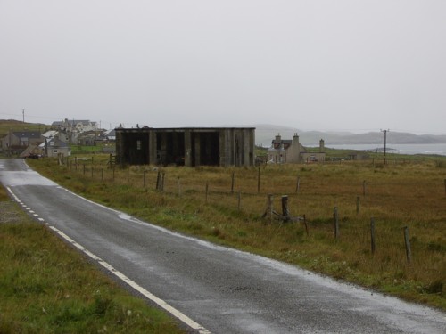
MT sheds
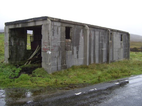
Building purpose unknown NA 99271 26318

Power Supply block NA 99274 26532

Fuel tank bases

Concrete plinth inside Power Supply block

Standby Power Supply block NA 99274 26532
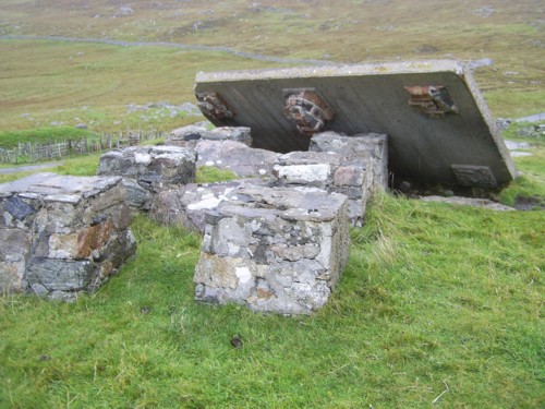
Concrete platform purpose unknown at Mealasta NA 99164 24215
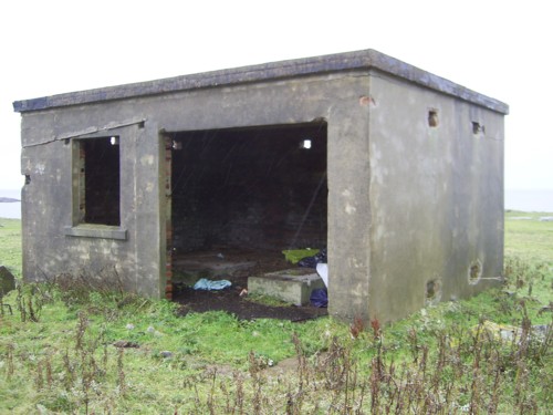
Standby Power Supply building at Mealasta NA 99131 24234
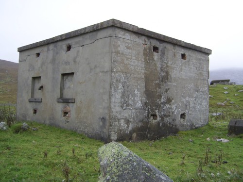
Standby Power Supply building at Mealasta NA 99131 24234
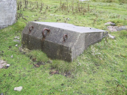
Concrete mast hawser anchor pad at Mealasta
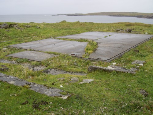
Nissan hut base at Mealasta NA 99081 24294
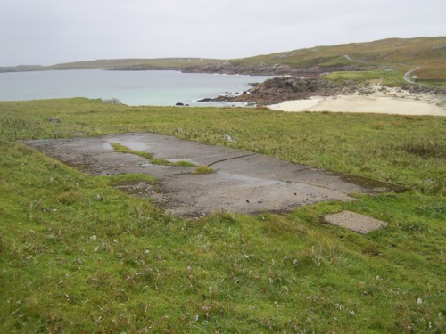
Nissan hut base at Mealasta NA 99119 24314
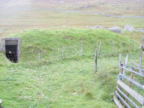
Air-raid shelter at Mealasta NA 99197 24258
| OS Map | Landranger 1:50,000 Map 13 |
| OS Map | Explorer 1:25,000 Map 458 |
